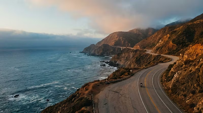


The Fuel Stop Mistake That Strands 90% of Coastal Touring Riders
Most riders plan their coastal tour fuel stops using Google Maps. They search "gas stations near [route]," see a cluster of pins, and assume they're covered.
Then they hit a 73-mile stretch of Highway 1 with zero stations and a headwind burning an extra 8% fuel.
Here's what experienced touring riders do differently:
Calculate Your True Range — Not Your Rated Range
Your motorcycle's rated MPG means nothing on a loaded coastal tour. You need to account for:
Cargo weight — A fully loaded touring bike with 40+ lbs of gear drops fuel efficiency 10-15%
Elevation changes — Sustained coastal climbs at 6-8% grade can cut range by 20%
Headwinds — Consistent 15+ mph coastal winds reduce effective range significantly
Riding style — Aggressive throttle through curves burns fuel faster than steady highway cruising
Take your rated range, subtract 25%, and that's your planning range. If your bike does 180 miles on a tank in ideal conditions, plan for 135 miles max between stops.
Map Stations by Operating Hours, Not Just Location
A gas station that closes at 6 PM is useless if you're rolling through at 7:30 PM. Rural coastal stations often have limited hours, seasonal closures, or card-only pumps after dark.
Pro tip: Call ahead for any station you're relying on as your only option in a 50+ mile stretch. A 2-minute phone call beats a roadside emergency.
Always Have a Bail-Out Point
For every segment of your route, identify the last confirmed fuel stop before a long gap. That's your decision point — if your tank isn't at least 60% full there, you stop and fill up. No exceptions.
---
This is just one piece of what we cover in the 10-Day Coastal Route Mastery certification. If you're planning a serious multi-day coastal tour, the full course covers fuel strategy, elevation mastery, weather navigation, emergency protocols, and daily execution planning.
The riders who finish the coast without a single fuel scare aren't lucky. They're prepared.