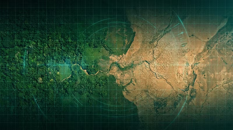


Why most drought monitoring is 2 weeks too late
Most conservation teams still rely on Landsat composites for drought monitoring. The problem? By the time you get a clear image (every 16 days, weather permitting), the damage is already done.
We built Canopy Signal because we kept seeing the same pattern: NGOs and government agencies reacting to drought events instead of anticipating them. The data existed — Planet Labs captures every point on Earth daily at 3-5m resolution — but nobody had automated the pipeline from raw imagery to actionable drought indices.
What Canopy Signal does:
Ingests daily satellite imagery automatically
Calculates standardized drought indices (SPI, SPEI, NDVI anomalies, VCI)
Flags deforestation events using change detection algorithms
Delivers alerts before the damage becomes irreversible
We're offering a free tier using Landsat imagery so any team can get started, with a Pro tier for organizations that need daily situational awareness from Planet Labs data.
If you work in conservation, environmental policy, or land management — this was built for you.