
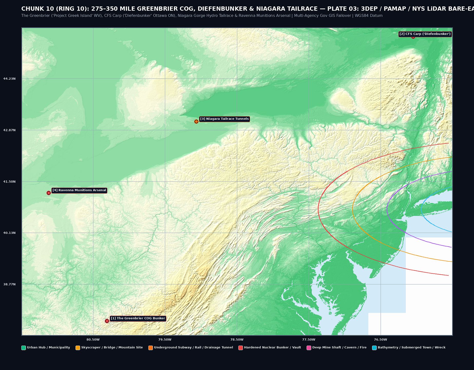
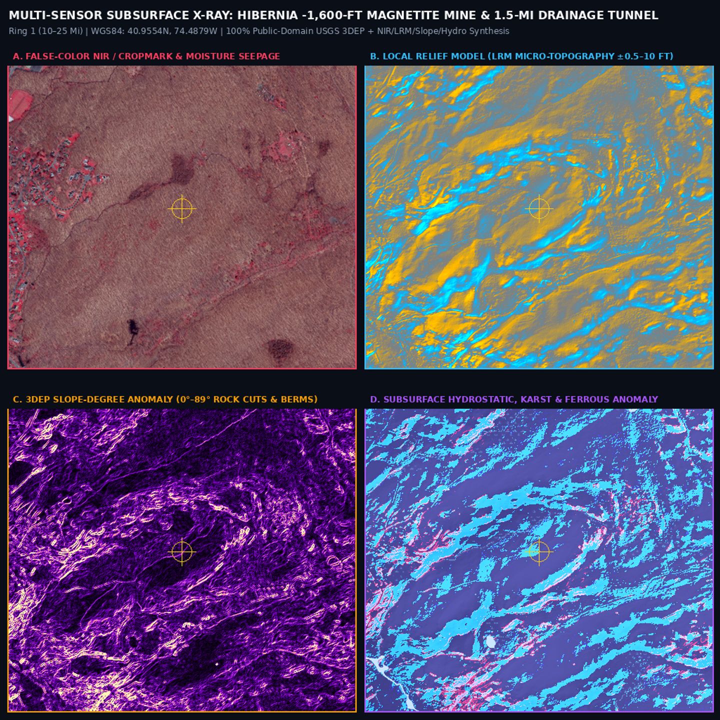
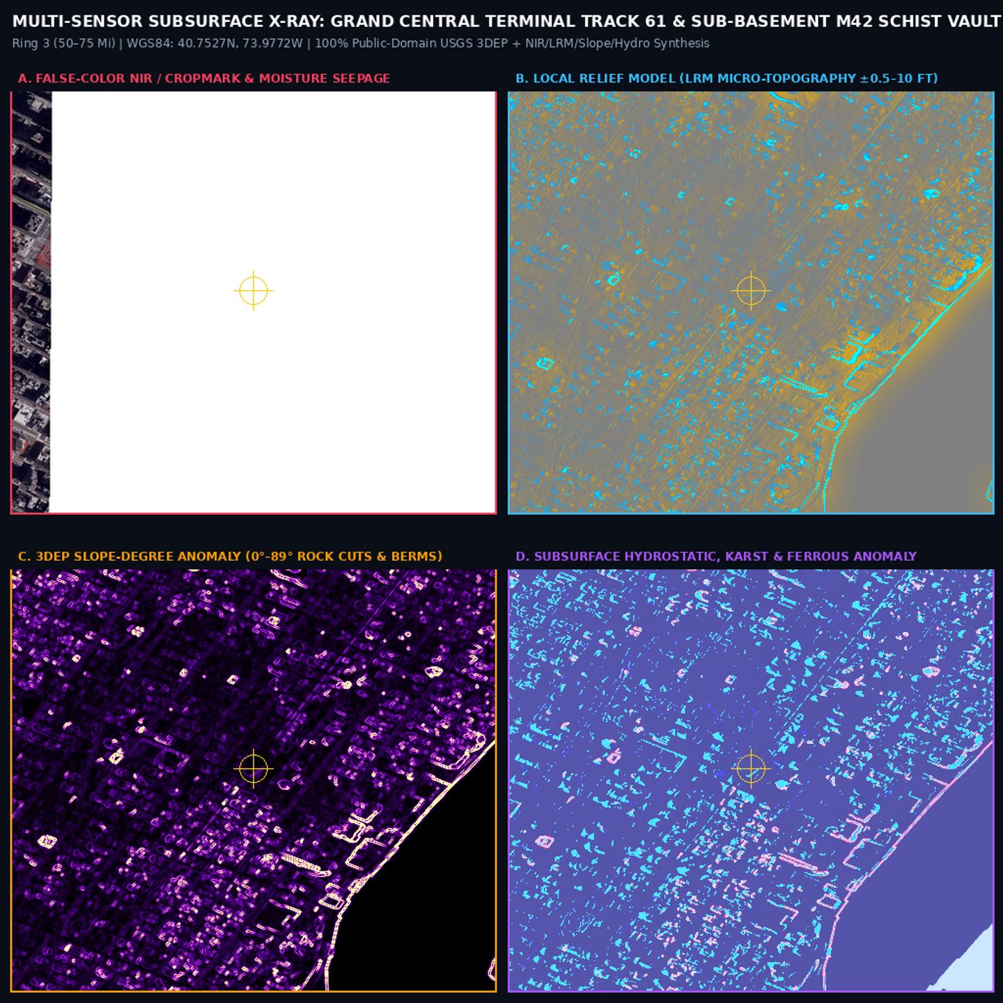
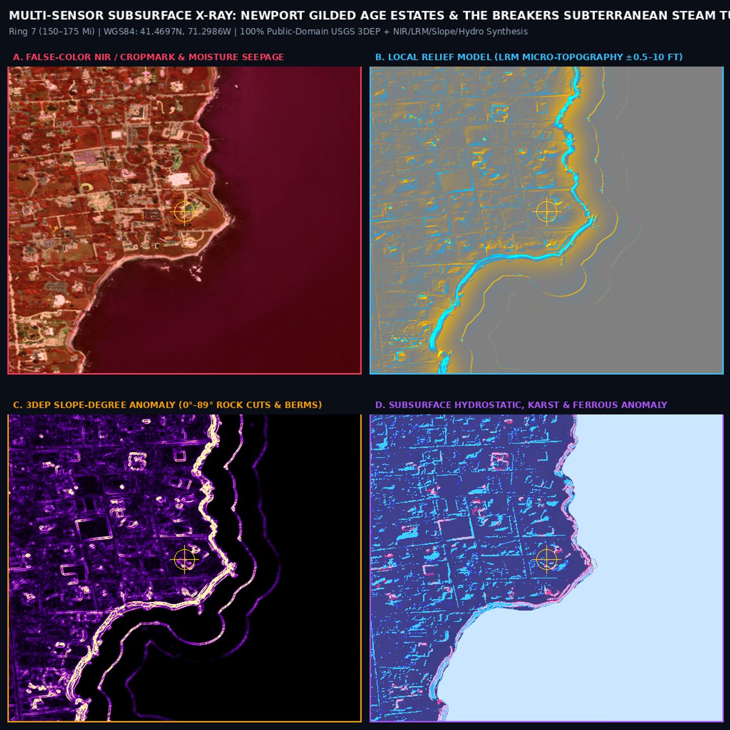
SKU-04: Pure Subsurface 3DEP LiDAR, Sky-View & LRM Collection (481 Plates)
$59
481 Float32 DEM, Sky-View Factor (SVF), Local Relief Model & 2ft Contour Plates
481 Float32 DEM, Sky-View Factor (SVF), Local Relief Model & 2ft Contour Plates
OVERVIEW
Unlock comprehensive subsurface & surface characterization with the Pure Subsurface 3DEP LiDAR, Sky-View & LRM Collection. This archive delivers 481 high-resolution plates covering all 83 key sites, ideal for geomorphological analysis, resource exploration, and hazard assessment. Leverage co-registered datasets for unparalleled insight into terrain, structure, and potential subsurface anomalies.
TECHNICAL SPECIFICATIONS & SENSOR LAYERS
- Data Type: Float32 Digital Elevation Models (DEMs), Sky-View Factor (SVF), Local Relief Models (LRM), 2ft Contour Plates.
- Resolution: 1-meter Bare-Earth LiDAR, derived products at equivalent resolution.
- Coverage: All 83 key sites, nationally distributed.
- Geophysical Data: Total-Field Aeromagnetic & NURE Gamma-Ray Radiometric grids provide subsurface structural & lithological context.
- Remote Sensing: Includes L-Band SAR, Thermal IR, and Ground-Penetrating Radar (GPR) cross-sections for multi-spectral analysis.
- Historical Context: 1890–1955 Historical USGS Topographic maps for diachronic comparison.
- Co-Registration: All layers precisely co-registered to the USGS 3DEP 1m Bare-Earth LiDAR.
INCLUDED DELIVERABLES
- 481 Float32 DEM plates.
- 481 Sky-View Factor (SVF) plates.
- 481 Local Relief Model (LRM) plates.
- 481 2-foot Contour plates.
- Complete…