Sentinel Aero PNG

AI-powered drone services for Papua New Guinea. Health supply delivery to remote stations, border patrol, illegal fishing surveillance, agri...
Port Moresby, PG
Created byProfile pictureklewakiedward
1 joined
Profile picture
klewakiedwardProfile picture@klewakiedward·Mar 12

The Patrol Boats Are the Sword. Drones Are the Eyes.

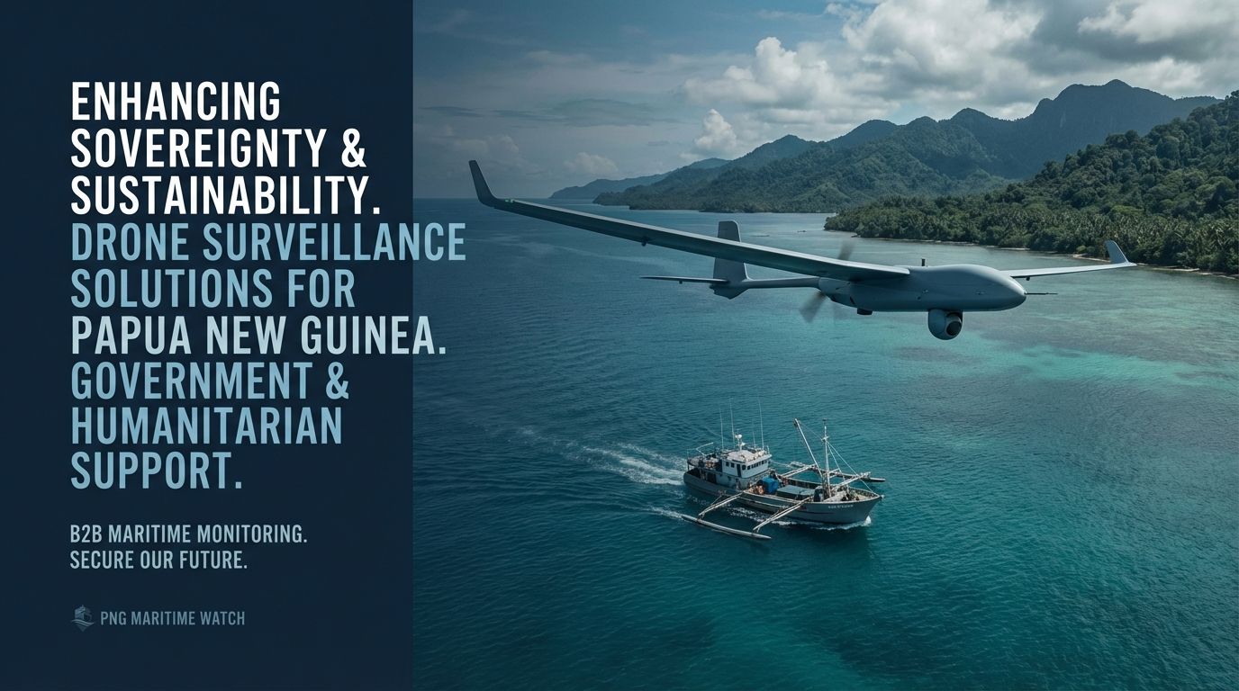
PNG commissioned MV Ilakini and MV Vanimo to combat illegal fishing — a historic milestone. But 2 boats can't cover 2.4 million km² of ocean.


AI-powered drone surveillance is the missing layer. Detect dark vessels, relay coordinates to patrol boats in real-time, and document everything in HD for prosecution.


Satellites track known vessels. Drones find the ones hiding. Boats intercept.


That's a complete maritime security system.


whop.com/sentinel-aero-png
file_m5XjHoDVIEntm
Profile picture
klewakiedwardProfile picture@klewakiedward·Mar 12

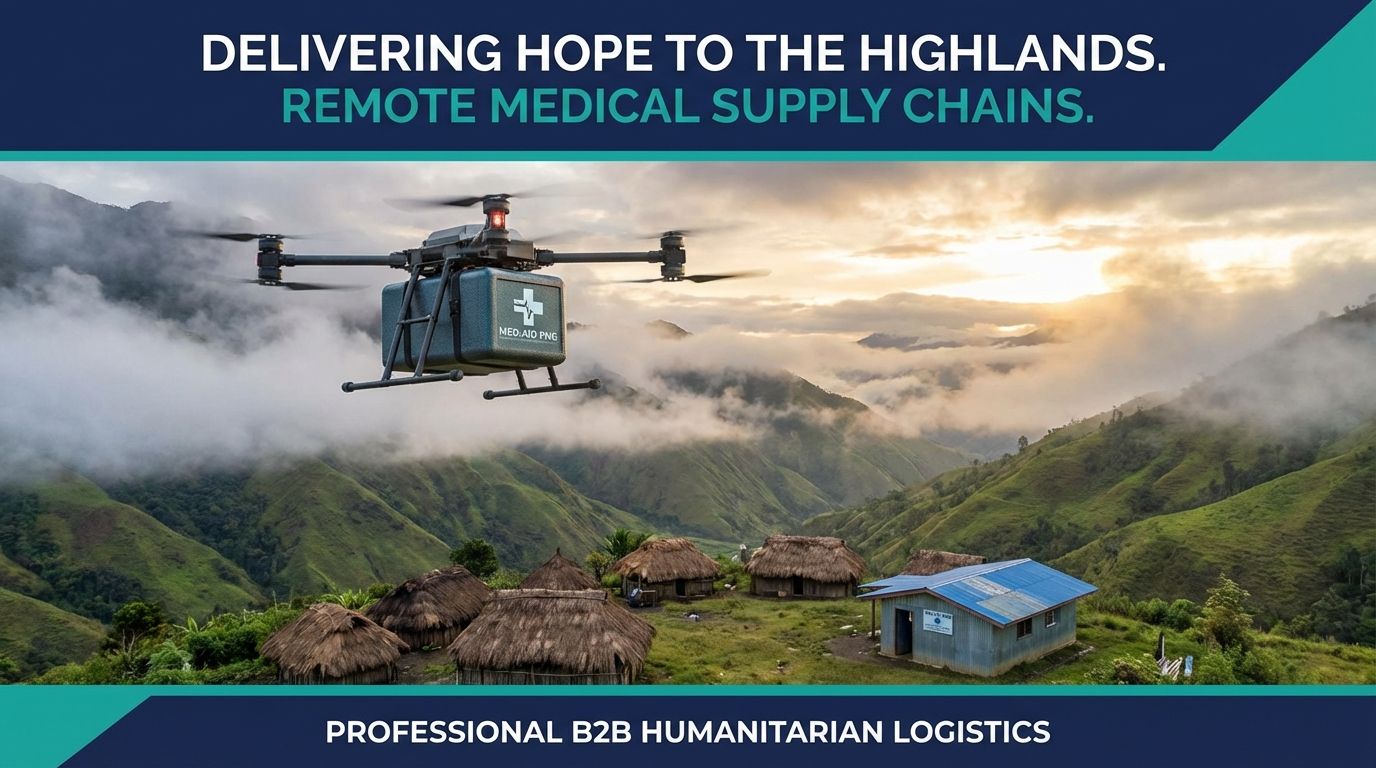
3 Days by Boat. 2 Hours by Drone. Every Minute Matters.

85% of Papua New Guineans live in rural areas. 40% of health facilities report stockouts of essential medicines. A vaccine shipment to a remote Sepik village can take 3-5 days by boat — if the route is even passable.


Modern drones carry medical payloads of 1-5 kg over 80-160 km on a single flight. That means life-saving supplies arrive in hours, not days.


UNICEF proved it works in Vanuatu. Swoop Aero proved it works across the Pacific. Now it's PNG's turn.


Sentinel Aero PNG — Bridging the Gap with AI-Powered Drone Services


whop.com/sentinel-aero-png

file_H78ryJNDhi9FH
Profile picture
klewakiedwardProfile picture@klewakiedward·Mar 12

PNG's New Patrol Boats Can't Solve the IUU Fishing Crisis Alone — Here's What Can

Two Boats. 2.4 Million Square Kilometers. Do the Math.


In December 2025, Papua New Guinea commissioned two new surveillance patrol boats — MV Ilakini and MV Vanimo — making PNG the first Pacific Island nation to operate dedicated fisheries patrol vessels. A significant milestone.


But here's the problem no one wants to say out loud: two boats cannot cover 2.4 million km² of ocean.


The Coverage Gap


Even with the new vessels, the NFA's MCS Command Centre in Daru, and satellite-based tracking systems like THEMIS SAR, PNG can only effectively monitor an estimated 50-60% of its Exclusive Economic Zone on any given day.


That leaves roughly 1 million km² of ocean unmonitored — every single day.


IUU fishing operators know this. They operate in the gaps. They switch off transponders ("going dark") and move to areas where patrol boats aren't. PNG's satellite and VMS tracking only works for cooperative vessels — the ones already following the rules.


What's Missing: Eyes in the Sky


The NFA's current technology stack is strong on tracking known vessels (VMS, AIS, Global Fishing Watch). But it's weak on detecting unknown ones — the dark vessels that cause the real damage.


This is exactly the gap that AI-powered drone surveillance fills:


  • Long-range maritime drones can sweep hundreds of thousands of km² per day

  • AI detection systems automatically identify and classify vessels — including those with transponders switched off

  • Real-time relay to patrol boats means MV Ilakini and MV Vanimo intercept with precision instead of searching blind

  • HD video and GPS logs provide prosecution-grade evidence that crew testimony alone cannot match


The Model: Detect → Direct → Intercept


  1. Satellites — Wide-area awareness (already deployed)

  2. Drones — Persistent, close-range detection of dark vessels (the missing layer)

  3. Patrol boats — Physical intercept and enforcement (MV Ilakini, MV Vanimo)


Each layer is powerful alone. Together, they're a complete maritime security system.


NFA's Own Roadmap Supports This


The NFA's 2026 priorities include "Implementation of an enhanced surveillance platform." Drone integration is the logical next step — complementing the Daru and Vanimo command centres with aerial intelligence.


What Sentinel Aero PNG Is Building


We're developing drone surveillance capability designed specifically for PNG's maritime domain:


  • Long-range fixed-wing drones for open-ocean patrol

  • AI-powered vessel detection and tracking

  • Integration with existing NFA command centre infrastructure

  • Local operator training and capacity building


PNG's fisheries are worth billions. Protecting them requires more than boats — it requires persistent, intelligent surveillance from the sky.


The patrol boats are the sword. Drones are the eyes.


— Sentinel Aero PNG

Profile picture
klewakiedwardProfile picture@klewakiedward·Mar 12
Pinned post

Welcome — About Sentinel Aero PNG

Welcome, Partners 🛩️


Sentinel Aero PNG provides AI-powered drone services for Papua New Guinea's most critical challenges.


Our Service Areas


  1. 🏥 Health Supply Delivery — Remote clinic resupply across highland and island provinces

  2. 🛡️ Border Patrol Assistance — Surveillance support for PNG's 820km land border and maritime zones

  3. 🐟 Illegal Fishing Surveillance — Monitoring PNG's 2.4M km² Exclusive Economic Zone

  4. 🌾 Agriculture & Livestock Monitoring — Crop health mapping and livestock tracking for rural communities


For Partners & Sponsors


If you represent a government agency, NGO, or private organization interested in drone-enabled logistics for PNG, get started through our Drone Services product to open a partnership conversation.


We're actively seeking pilot program partners and funding collaborators.


Bridging the Gap with AI-Powered Drone Services

Profile picture
klewakiedwardProfile picture@klewakiedward·Mar 12
Pinned post

Why Drone Logistics Will Transform Papua New Guinea

The Challenge No One Talks About


Papua New Guinea has over 600 islands, 800+ languages, and some of the most rugged terrain on Earth. The Highlands Highway — the country's main arterial road — is frequently impassable due to landslides, flooding, and tribal conflicts.


For the 85% of Papua New Guineans living in rural areas, accessing basic services like medicine, diagnostic samples, and emergency supplies can mean days of travel by foot, canoe, or unreliable road transport.


The Numbers Tell the Story


  • 40% of PNG health facilities report stockouts of essential medicines at any given time

  • A journey from Port Moresby to a remote Sepik village can take 3-5 days by boat

  • PNG's 2.4 million km² Exclusive Economic Zone is among the largest in the Pacific, yet monitoring capacity is minimal

  • $600M+ in annual losses from illegal, unreported, and unregulated (IUU) fishing in PNG waters


What Drones Change


Modern long-range drones can carry medical payloads of 1-5 kg over distances of 80-160 km on a single flight. That means:


  • A vaccine shipment that once took 3 days can arrive in under 2 hours

  • Border surveillance that required expensive helicopter flights can be done at 1/10th the cost

  • Agricultural surveys covering thousands of hectares can be completed in a single day


Proof It Works in the Pacific


UNICEF successfully piloted drone vaccine delivery in Vanuatu — a country with similar geographic challenges to PNG. The project demonstrated that drones could reliably serve communities that conventional logistics couldn't reach.


Australia's Swoop Aero has already operated drone delivery networks across the Pacific and Africa, proving the technology works in tropical, remote environments.


What Comes Next


At Sentinel Aero PNG, we're building the infrastructure to bring these capabilities home. Our focus: health supply delivery, border security, fisheries surveillance, and agricultural monitoring — all powered by AI-driven route optimization.


If you're an organization working in PNG and want to explore how drone logistics can support your operations, reach out through our Drone Services page.


The sky isn't the limit — it's the highway.